At Crestwood Environmental we have provided landscape architecture services for over 12 years, and employ a number of chartered landscape architects with a range of expertise in all areas of landscape and visual impact assessment (LVIA), landscape planning, landscape design (master planning through to detailed design), landscape management and landscape contract specification and administration.
Our landscape architects hold expert knowledge and experience in a variety of sectors, such as minerals, waste, wind, energy, highways, residential and leisure, and at strategic planning level. Our environmental site assessments allow you to plan ahead for potential project risk or impact. This includes visual impact, feasibility assessment of project and landscape assessment.
Key staff are proficient to Expert Witness level and have contributed expertise for many years to Technical Committees at the Landscape Institute and the International Association for Landscape Ecology (ialeUK). The Company is also a Registered Practice of the Landscape Institute.

Summary of Services
Our landscape team comprises experienced Chartered Landscape Architects, landscape consultants and technical support staff with expertise in CAD, GIS and Visualisations. We are involved in a wide variety of projects across England, Wales and Scotland.
Crestwood Environmental Ltd. is a Landscape Institute Registered Practice.
Landscape Assessment:
» Landscape & Visual Impact (LVIAs)
» Visibility (Viewshed) Calculations
» Residential Visual Amenity (RVAAs)
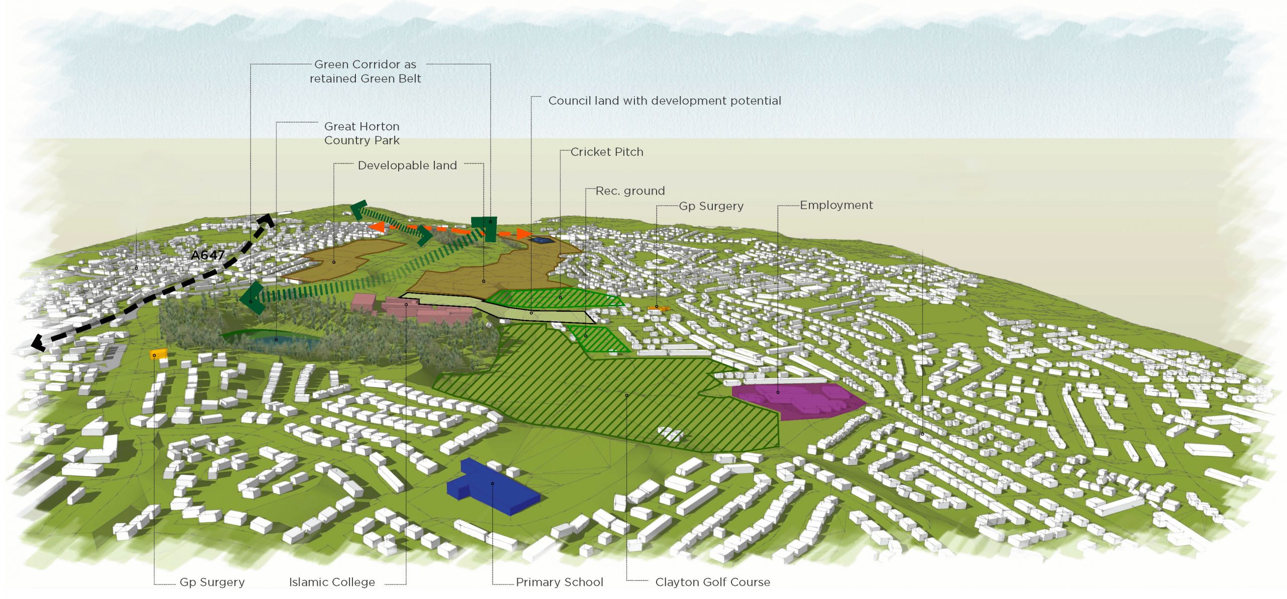
» Green Belt Assessment (landscape aspects)
» Landscape Character
» Townscape Character
» Nightscape Character
» Seascape Character
» Tranquillity Assessment
» Landscape and Visual Appraisals (LVAs)
» Expert Witness
Landscape Architecture:
» Landscape Masterplanning
» Restoration Schemes
» Landscape / Planting Detailing
» Golf Course Design
» Water-based Schemes
» 3D Landform Design
» Volumetric Calculations
» Landfill Settlement Calculations
Landscape Management:
» Landscape Management Plans
» Grounds Maintenance Plans
» Soils Management Plans
» Conservation Habitat Plans
» Agricultural Aftercare Plans
» Green Infrastructure Strategies
Landscape Contracts:
» Landscaping Budgets
» Contract Administration
» Landscape Specifications
» Contractor Supervision
» Quality Control Assurance
Graphic Communication:
» 2D, 3D, 4D Visuals
» High quality presentation drawings
» Verified Photomontage
» GIS analysis
» Augmented / Virtual Reality


