Crestwood Environmental utilises a range of software to achieve a variety of Geospatial Data outputs, including those related to:
Presentation Quality Graphics:
• Planning and Development Plans
• Landscape Masterplans and Detailing
• Interpretative material and flyers
• Public Consultation boards
Design and Analysis:
• 2D and 3D CAD
• Visibility Assessment (ZTV, ZVI)
• Digital terrain modelling and volume calculations
• Isopachyte, Slope, and Elevation Analyses
• Landfill settlement calculations
• Geographical Information Systems (GIS)
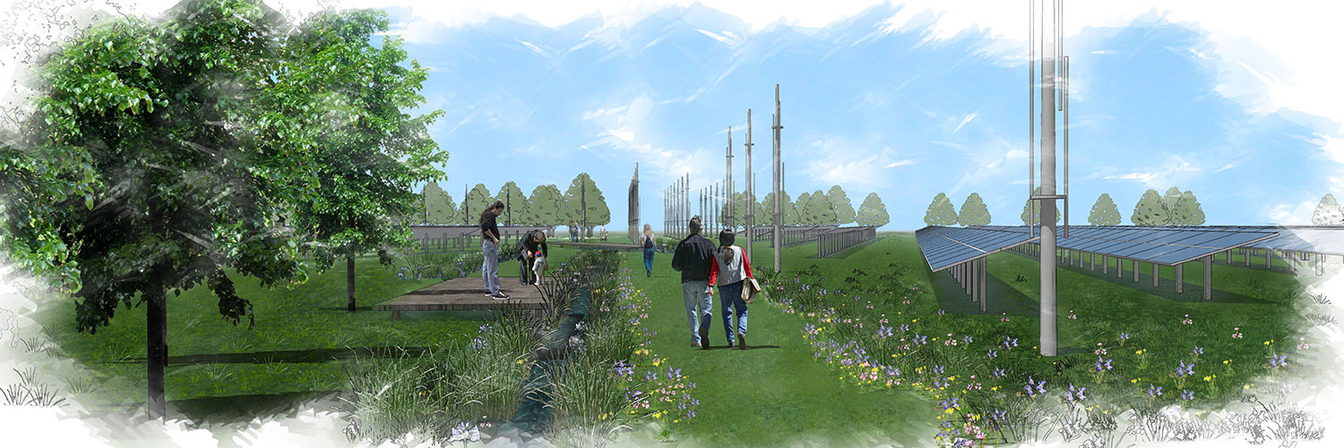
3D Visualisation:
• Accurate Visual Representations (AVRs)
• Wind farm Visualisation
• Verified Photomontages
• Photorealistic still images
• Artistic impressions
• Animated fly and walk-throughs
Augmented Reality (AR):
• Plan based and Site based
• Communicating environmental information
• Communicating design options
• Communicating visual effects of developments
• Communicating lost heritage features
• Creating interactive interpretative material
Contact us today for more information about these services.
Visit our careers page if you are interested in developing a career in this service area.

Managing Director & Landscape Architect